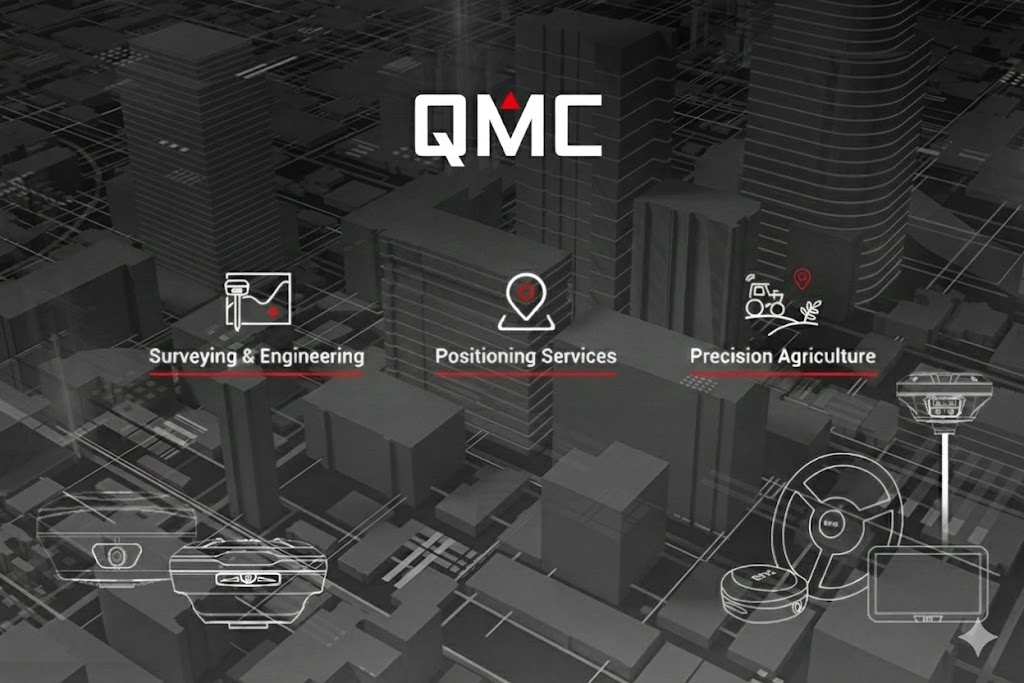
QMC is committed to delivering high-quality solutions and exceptional service to professionals worldwide.
QMC stands for "AL Qutub AL Mumyaz Company," reflecting our commitment to delivering reliable, user-friendly, and affordable GNSS solutions for users around the world.
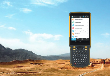
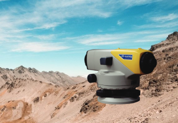
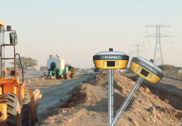
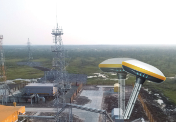
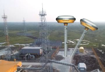
RELEVANT EQUIPMENT AND ACCESSARIES OF GNSS
Including the relevant equipment and accessories of each position of the GNSS receivers.
CUSTOMIZED SERVICE
QMC supports customization for clients and is open for ODM partners.
24 HOURS SUPPORT SERVICE
Here are 24 hours service from our support team.
Send to Support@qmc.com.iq